Geo-Specific Aims
The research interests are geo- as well as writer-specific: we are interested in exploring how GIS technology can be used to visualise (and, by extension, to theorise) the textual/imaginative layering of the Lake District landscape over time. Connected with this, the project is informed by a concern with the intersections/conflicts between imaginative and spatial experience, with a particular emphasis on ideas of boundary and boundedness. The following questions, then, are just some of the enquiries which inform our site-specific research.
- How do different writers define the (imaginative/actual) boundaries of the English Lake District?
- Do the writers move beyond the central Lakes? For example, do they visit, and document, the coastal fringes of the region? Do they represent any other 'marginalised' places or sites?
- Do different writers use similar (or contrasting) language in their respective accounts of particular locations?
- How often do writers refer to other, non-regional places and spaces when describing the landscape of the Lakes?
- How do the definitions of region, suggested within the texts, correspond with the spatial boundaries imposed by the National Park Authority in the middle of the twentieth-century?
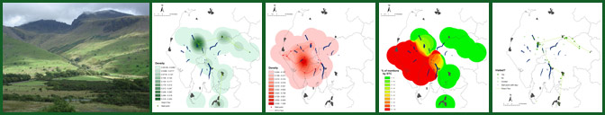
- How can digital mapping be used to represent changes to the Lake District landscape over time?